 SkyReplay
Your flight,
the way it felt.
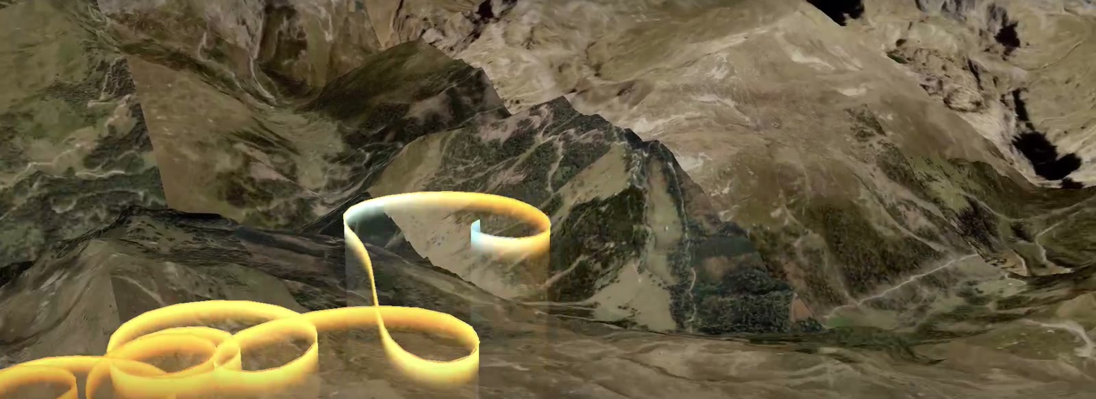
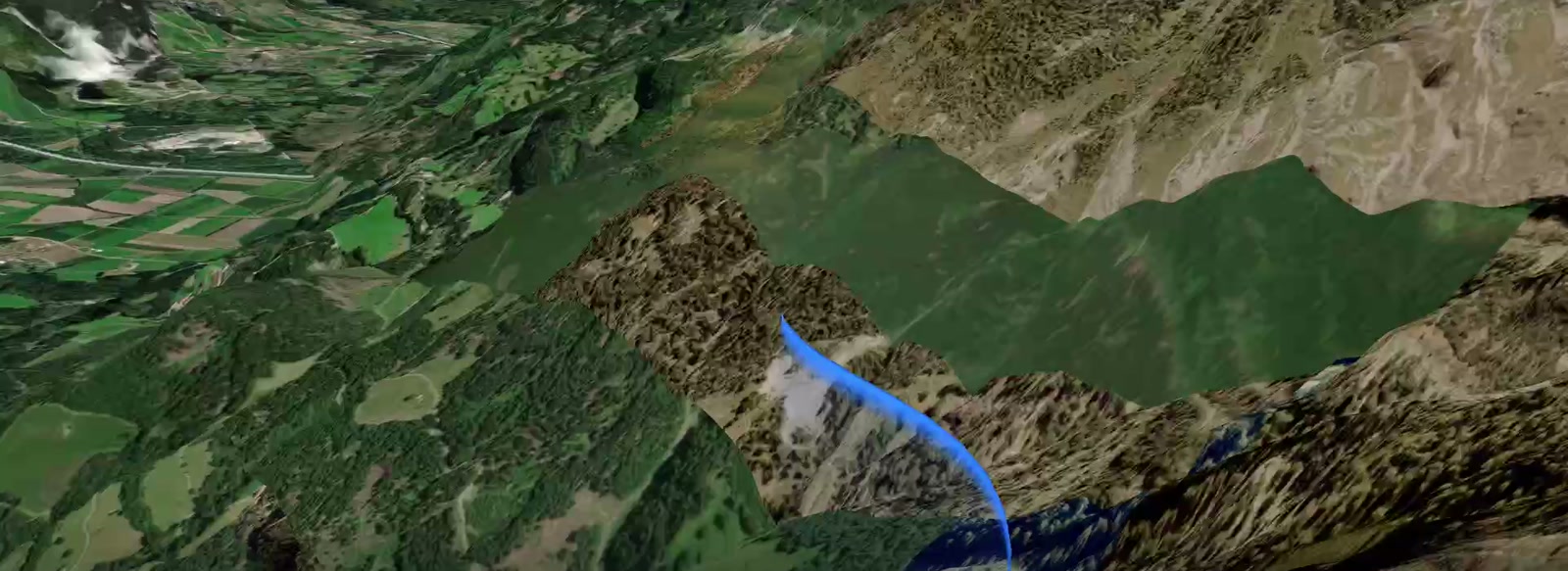
Drop in a track from your vario and watch the whole flight rebuilt in three dimensions over real terrain — then export it as video.
What it does
Reads your instrument
IGC, GPX, KML and FIT. Uses barometric altitude where your vario recorded it, so height is right.
Films itself
It reads where you climbed and where you pushed on glide, and cuts a shot list to match — orbiting your best thermal, running wide over the longest transition.
Spends time where it matters
Thermals play near real time, glides compress. Two hours becomes ninety watchable seconds.
Shows the climb
The trail is coloured by climb rate — blue sinking, orange lifting — so a glance tells you where the day worked.
Exports properly
1080p, 4K, or vertical for Instagram. Frames are rendered one at a time, so the file is identical however long your machine takes.
Works offline
Save a flight's map area to disk and the whole thing renders and exports with the network off.
Fly together
A live map is a link
Start one, send the link to your club, and everyone who opens it is watching. One press puts you on it. No accounts to add and no invitations to accept.
Send a flight to anyone
A whole flight fits inside a link, or a six-kilobyte file. They do not need an account, and nothing is stored anywhere unless you ask for it.
Before you fly, and after
SkyScore — will it be any good?
The other half of the same idea, by the same person. SkyScore reads the forecast the way a pilot does and scores the day for your sites, so you know whether tomorrow is worth the drive. Free, and nothing to install.
SkyReplay — what actually happened?
Then fly it, and bring the track back here to watch the day again in three dimensions: where the lift was, what you missed, and what it looked like.
It's free.
No trial and nothing to pay. It works with no account at all — flights stay in your browser and a shared link carries the flight inside it. Sign in only if you want your flights kept and findable from any machine. If enough pilots find this useful there may be a paid version later; this one will keep working.